See Sailing now uses water referenced calculations exclusively.
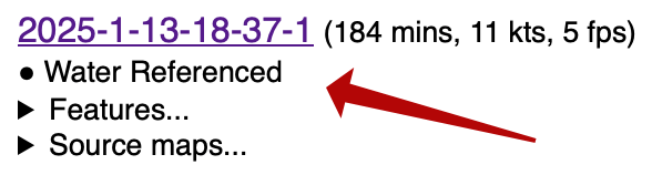
This is all well and good but ... what does Water Referenced actually mean?
The wind blows the sails, the boat moves through the water. However, the water itself is often also moving and this means that our sog/cog velocities as reported by the GPS are not an accurate representation of the efficiency of our sailing.
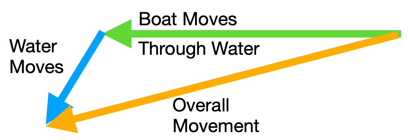
So to find accurate true wind, VMG, or target speeds we need to use "through water" measurements.
We can see that water referenced calculations have been used because there are two velocity arrows on the main display:
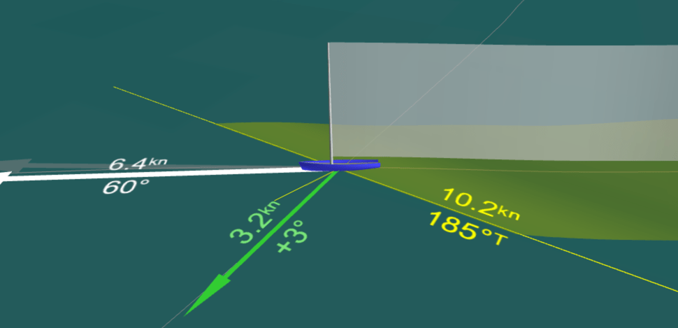
Shown here is the through the water speed (6.4 knots) and pointing angle (60 degrees) of the yacht next to a light grey arrow that shows the course and speed as reported by GPS. It is tempting to assume that the difference between the two is the tide or current at that particular point - but any mis-calibration in the compass skews this result considerably so it is not to be trusted.
For water referencing, See Sailing needs an NMEA 2000 log and compass that emit the PGN 128259 and 127250 messages. It also relies on your compass returning the correct magnetic variation; and prefers to receive attitude data as provided by your compass so ensuring this is correctly mounted is a good idea, too.
On the source maps, these messages are referred to as the 'spd' and 'hdg' streams. Thus disabling one or both of these will result in the data no longer being able to be analysed.